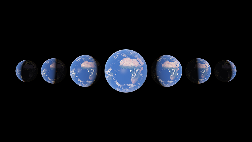
The world has changed, physically, quite a bit in the past few decades. And if you want to see the process in motion, now you can thanks to Google Earth. Its “biggest update in years” has added a detailed 3D timelapse mode utilizing a plethora of satellite photos taken of our wonderful home planet over the past 37 years.
Google’s got a time machine
Now, this was no simple feat. Far from it. Turning these satellite images into a 3D display took a lot of time and effort. Using a process called “pixel crunching”, Google compiled over 20 million images, an absurd amount of pixels to work with, then processed them and mashed them into a functional video mosaic weighing in at a whopping 4.4 terapixels. And the result is awesome.
It’s like that “10 years ago vs today” trend on Instagram, but on a (literal) global scale. You can use the feature to watch forests come and go, seasons pass, city growth, and more. It’s not just for fun either, Google has tried to create an educational experience showcasing the effects of climate change on our planet. It’s pretty sobering to watch all that ice and all those trees just… disappear.
To use the feature, head on over to Google Earth’s site, hit the ship’s wheel icon, and scroll over to the “Timelapse” option. Or you can click here. Once in Timelapse, you’ve got a few handy navigational tools to help you travel, time or otherwise. You can scroll through the years with a slider, for example, and some shortcuts to particularly cool places. It’s a fun time and a cool feature. But if travelling the world isn’t your thing, why not try burrowing through it?
Source: Ars Technica


